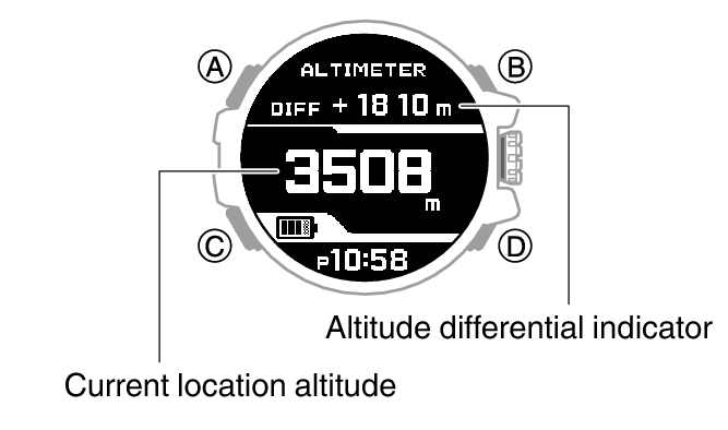
Setting a Reference Altitude and Taking Relative Altitude Readings
You can use the procedure below to display the differential between a reference altitude and another altitude. This makes it easy to measure the altitude differential between two points while climbing or trekking.
-
1.Use the contour lines on your map to determine the altitude differential between your current location and your destination.
-
2.Take an altitude reading of your current location.
-
3.Hold down (A) for about one second to set your current location’s altitude as the reference altitude.
-
This makes the altitude differential ±0 m (±0 feet).
-
4.While comparing the difference between the altitude you found on the map and the altitude differential displayed by the watch, advance towards your destination.
-

- When the altitude differential you found on the map is the same as that displayed by the watch, it means you are close to your destination.

 Top of page